Bus 80 Route Map, Schedule and Bus Stops | Singapore
Bus 80 Route
SBS Transit Bus 80 Route from Sengkang Interchange to Harbourfront Interchange and vice versa passes along Aljunied Road, Cantonment Link, Cantonment Road, Compassvale Drive, Compassvale Road, Crawford Street, Eu Tong Sen Street, Geylang East Central, Geylang Road, Hill Street, Hoe Chiang Road, Hougang Avenue 10, Hougang Central, Kallang Road, Keppel Road, Kreta Ayer Road, North Bridge Road, Paya Lebar Road, Punggol Road, Seah Im Road, Sengkang Square, Sims Avenue, South Bridge Road, Tanjong Pagar Road, Telok Blangah Road, Upper Paya Lebar Road, Upper Serangoon Road and Victoria Street.
SBS Transit Bus 80 Route also connects with the following stations: Aljunied, Bugis, Chinatown, City Hall, Clarke Quay, Harbourfront, Hougang, Kallang, Kovan, Lavender, MacPherson, Maxwell, Tai Seng, Vivo City
Travelling today or planning for a commute via SBS Transit Bus 80? Learn more about the SG Bus 80 Bus Schedule, Bus Stops and Route Map.
NOTICE: The fares and schedules listed here may subject to change without prior notice. Pls check with the companies for the updated details.
CommuteTour is in no way affiliated with any of the buses / trains / tourist spots listed on any of its pages.
Subscribe: youtube.com/@commutetour
SBS Transit Bus 80 Details
| Category | Information |
|---|---|
| Bus Route | 80 |
| Operator | SBS Transit |
| Dir 1 # of Stops | 58 |
| Dir 2 # of Stops | 57 |
| Origin | Sengkang Interchange |
| Destination | Harbourfront Interchange |
| Direction | Two Way |
Bus 80 Schedule
SBS Transit Bus 80 schedule from Sengkang Interchange to HarbourFront Interchange is from 05:15 to 23:30 from Monday to Sunday / Holidays while the bus schedule from HarbourFront Interchange is from 05:40 to 00:25 from Monday to Saturday, and 06:00 to 00:25 every Sunday and Holidays.
| From | Monday to Friday | Saturday | Sunday / Holiday |
|---|---|---|---|
| Sengkang Int | 05:15 to 23:30 | 05:15 to 23:30 | 05:15 to 23:30 |
| HarbourFront Int | 05:40 to 00:25 | 05:40 to 00:25 | 06:00 to 00:25 |
| Frequency | Before 8:30 | 08:31 – 16:59 | 17:00 – 19:00 | After 19:00 |
|---|---|---|---|---|
| Sengkang | 09 – 13 minutes | 10 – 17 minutes | 14 – 15 minutes | 18 – 19 minutes |
| HarbourFront | 08 – 13 minutes | 11 – 18 minutes | 14 – 17 minutes | 16 – 18 minutes |
SG Bus 80 Route Map
Bus 80 Route Map
Tap the top right of the map for full screen view. You can return to this page by clicking on the link on the google map description
SBS Transit Bus 80 Bus Stops
The Bus Stops along SBS Transit Bus 80 Route include: Armenian Church, Asiawide Industrial Building, Bethany Presby Church, Boat Quay, Bugis Cube, Cisco Center, Citipoint Industrial Complex, Crawford Bridge, Customs Port Br Headquarters, Fairfield Meth Church, Former Railway Station, Fuji Xerox Towers, Geylang Meth Primary School, Geylang Meth Secondary School, Geylang Polyclinic, Glad Tidings Church, Hong Lim Complex, Hong Lim Park, Hotel Grand Pacific, Jalan Chermat, Kampong Bugis, Keppel Distripark Blk 517, Keppel Workshop, Le Crescendo, Lorong 1 Geylang, Lorong 18 Geylang, Lorong 23 Geylang, Mohd Salleh Mosque, National Library, Naung Residence, Orion @ Paya Lebar, Padang Jeringau, Parkview Square, Paya Lebar Crescent, Paya Lebar Gardens, Paya Lebar Street, Raya Garden, Sims Way, Southpoint, Stamford Primary School, Sultan Mosque, Tanjong Pagar Distripark Blk F5, Tanjong Pagar Plaza, The Amara, The Helping Hand, The Rivervale, The Treasury, Tower 15, Trinity @ Paya Lebar, Upper Serangoon Shop Center, Wisma Aupe and Yi Xiu Factory Building.
Bus 80 passes along Blk 1015, Blk 110, Blk 111, Blk 16, Blk 161, Blk 22, Blk 223d, Blk 225a, Blk 25, Blk 302, Blk 333, Blk 370, Blk 412, Blk 421, Blk 458, Blk 461, Blk 513, Blk 522, Blk 8 and Blk 831.
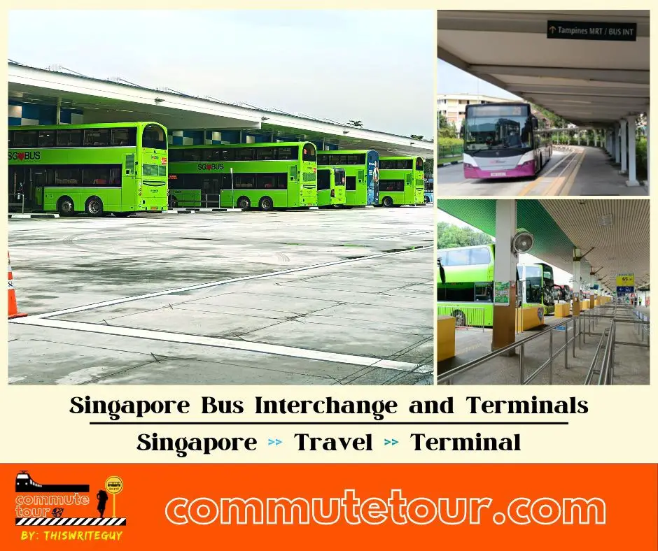
MRT Stations along Bus 80 Route include: Aljunied, Bugis, Chinatown, City Hall, Clarke Quay, Harbourfront, Hougang, Kallang, Kovan, Lavender, MacPherson, Maxwell, Tai Seng, Vivo City and connects with Harbourfront Interchange, Hougang Central Interchange, Lorong 1 Geylang Terminal, Sengkang Interchange.
Sengkang Interchange (67009)
Road: Sengkang Square
Station Code: NE16 STC
Train Line/s: North East Line MRT Sengkang LRT East
Terminal: Sengkang InterchangeBlk 223d (67191)
Road: Compassvale RoadBlk 225a (67171)
Road: Compassvale DriveBlk 111 (65029)
Road: Punggol RoadThe Rivervale (65019)
Road: Punggol RoadOpposite Blk 458 (64029)
Road: Hougang Avenue 10Blk 412 (64429)
Road: Hougang Avenue 10Hougang Station Exit C (64381)
Road: Hougang Avenue 10
Station Code: NE14
Train Line/s: North East Line MRTBlk 831 (64391)
Road: Hougang Avenue 10Opposite Hougang Central Interchange (64549)
Road: Hougang Central
Station Code: NE14
Train Line/s: North East Line MRT
Terminal: Hougang Ctrl InterchangeBlk 302 (64019)
Road: Upper Serangoon RoadBlk 25 (63069)
Road: Upper Serangoon RoadBlk 22 (63059)
Road: Upper Serangoon RoadGlad Tidings Church (63049)
Road: Upper Serangoon RoadKovan Station Exit C (63039)
Road: Upper Serangoon Road
Station Code: NE13
Train Line/s: North East Line MRTOpposite The Helping Hand (63029)
Road: Upper Serangoon RoadAfter Upper Serangoon Shop Center (63019)
Road: Upper Serangoon RoadBlk 161 (62059)
Road: Upper Paya Lebar RoadAfter Paya Lebar Crescent (62049)
Road: Upper Paya Lebar RoadRaya Garden (62039)
Road: Upper Paya Lebar RoadPaya Lebar Gardens (62029)
Road: Upper Paya Lebar RoadAfter Rochdale Road (62019)
Road: Upper Paya Lebar RoadOpposite Paya Lebar Street (70309)
Road: Upper Paya Lebar RoadOpposite Asiawide Industrial Building (70299)
Road: Upper Paya Lebar RoadAfter Tai Seng Station Exit C (70289)
Road: Upper Paya Lebar Road
Station Code: CC11
Train Line/s: Circle Line MRTOpposite Trinity @ Paya Lebar (70279)
Road: Paya Lebar RoadCitipoint Industrial Complex (70269)
Road: Paya Lebar RoadMacpherson Station Exit B (70259)
Road: Paya Lebar Road
Station Code: DT26 CC10
Train Line/s: Downtown Line MRT Circle Line MRTBlk 1015 (81229)
Road: Geylang East CentralOpposite Geylang Polyclinic (81219)
Road: Geylang East CentralGeylang Meth Primary School (81209)
Road: Geylang East CentralAljunied Station (81089)
Road: Aljunied Road
Station Code: EW9
Train Line/s: East-West Line MRTBefore Lorong 18 Geylang (80089)
Road: Geylang RoadOpposite Mohd Salleh Mosque (80069)
Road: Geylang RoadAfter Sims Way (80049)
Road: Geylang RoadOpposite Lorong 1 Geylang Terminal (80039)
Road: Geylang Road
Station Code: EW10
Train Line/s: East-West Line MRT
Terminal: Lor 1 Geylang TerminalBefore Kampong Bugis (80029)
Road: Kallang RoadBefore Crawford Bridge (01339)
Road: Crawford StreetBlk 8 (01329)
Road: North Bridge RoadBefore Sultan Mosque (01229)
Road: North Bridge RoadParkview Square (01139)
Road: North Bridge RoadBugis Cube (01039)
Road: North Bridge RoadOpposite National Library (01029)
Road: North Bridge RoadAfter City Hall Station Exit B (04168)
Road: North Bridge Road
Station Code: EW13 NS25
Train Line/s: East-West Line MRT North-South Line MRTOpposite The Treasury (04249)
Road: North Bridge RoadBoat Quay (05029)
Road: South Bridge RoadOpposite Hong Lim Complex (05199)
Road: South Bridge RoadMaxwell Road Fc (05269)
Road: South Bridge Road
Station Code: TE18
Train Line/s: Thomson-East Coast Line MRTBefore Craig Road (05429)
Road: Tanjong Pagar RoadThe Amara (05419)
Road: Tanjong Pagar RoadTower 15 (05431)
Road: Hoe Chiang RoadOpposite Customs Port Br Headquarters (05649)
Road: Keppel RoadOpposite Former Railway Station (14061)
Road: Keppel RoadKeppel Workshop (14071)
Road: Keppel RoadTanjong Pagar Distripark Blk F5 (14081)
Road: Keppel RoadOpposite Keppel Distripark Blk 517 (14101)
Road: Keppel RoadHarbourfront Station/Vivocity (14141)
Road: Telok Blangah Road
Station Code: CC29 NE1 S1
Train Line/s: Circle Line MRT North East Line MRT Sentosa Express MonorailHarbourfront Interchange (14009)
Road: Seah Im Road
Station Code: CC29 NE1 S1
Train Line/s: Circle Line MRT North East Line MRT Sentosa Express Monorail
Terminal: Harbourfront Interchange
Harbourfront Interchange (14009)
Road: Seah Im Road
Station Code: CC29 NE1 S1
Train Line/s: Circle Line MRT North East Line MRT Sentosa Express Monorail
Terminal: Harbourfront InterchangeHarbourfront Station Exit A (14129)
Road: Telok Blangah Road
Station Code: CC29 NE1 S1
Train Line/s: Circle Line MRT North East Line MRT Sentosa Express MonorailOpposite Vivocity (14119)
Road: Telok Blangah Road
Station Code: CC29 NE1 S1
Train Line/s: Circle Line MRT North East Line MRT Sentosa Express MonorailKeppel Distripark Blk 517 (14109)
Road: Keppel RoadOpposite Tanjong Pagar Distripark Blk F5 (14089)
Road: Keppel RoadFormer Railway Station (14069)
Road: Keppel RoadBlk 16 (05631)
Road: Cantonment LinkOpposite Southpoint (05629)
Road: Cantonment RoadOpposite Fuji Xerox Towers (05651)
Road: Tanjong Pagar RoadTanjong Pagar Plaza (05411)
Road: Tanjong Pagar RoadAfter Craig Road (05421)
Road: Tanjong Pagar RoadOpposite Fairfield Meth Church (05271)
Road: Tanjong Pagar RoadOpposite Blk 333 (05241)
Road: Kreta Ayer Road
Station Code: TE18
Train Line/s: Thomson-East Coast Line MRTChinatown Station Exit C (05013)
Road: Eu Tong Sen Street
Station Code: DT19 NE4
Train Line/s: Downtown Line MRT North East Line MRTOpposite Hong Lim Park (05023)
Road: Eu Tong Sen StreetClarke Quay Station Exit E (04222)
Road: Eu Tong Sen Street
Station Code: NE5
Train Line/s: North East Line MRTArmenian Church (04142)
Road: Hill StreetHotel Grand Pacific (01012)
Road: Victoria StreetOpposite Bugis Station Exit C (01112)
Road: Victoria Street
Station Code: EW12 DT14
Train Line/s: East-West Line MRT Downtown Line MRTStamford Primary School (01121)
Road: Victoria StreetOpposite Blk 461 (01211)
Road: Victoria StreetLavender Station Exit B (01311)
Road: Kallang Road
Station Code: EW11
Train Line/s: East-West Line MRTAfter Padang Jeringau (80011)
Road: Kallang RoadKallang Station (80031)
Road: Sims Avenue
Station Code: EW10
Train Line/s: East-West Line MRTAfter Lorong 1 Geylang (80051)
Road: Sims AvenueYi Xiu Factory Building (80071)
Road: Sims AvenueBefore Lorong 23 Geylang (80091)
Road: Sims AvenueOpposite Aljunied Station (81081)
Road: Aljunied Road
Station Code: EW9
Train Line/s: East-West Line MRTOpposite Geylang Meth Secondary School (81201)
Road: Geylang East CentralGeylang Polyclinic (81211)
Road: Geylang East CentralOpposite Blk 1015 (81221)
Road: Geylang East CentralOpposite Cisco Center (81109)
Road: Paya Lebar RoadMacpherson Station Exit C (70251)
Road: Paya Lebar Road
Station Code: DT26 CC10
Train Line/s: Downtown Line MRT Circle Line MRTOpposite Orion @ Paya Lebar (70261)
Road: Paya Lebar RoadLe Crescendo (70271)
Road: Paya Lebar RoadAfter Tai Seng Station (70281)
Road: Upper Paya Lebar Road
Station Code: CC11
Train Line/s: Circle Line MRTAsiawide Industrial Building (70291)
Road: Upper Paya Lebar RoadAfter Paya Lebar Street (70301)
Road: Upper Paya Lebar RoadAfter Bartley Road (62011)
Road: Upper Paya Lebar RoadWisma Aupe (62021)
Road: Upper Paya Lebar RoadBefore How Sun Road (62031)
Road: Upper Paya Lebar RoadOpposite Bethany Presby Church (62041)
Road: Upper Paya Lebar RoadAfter Jalan Chermat (62051)
Road: Upper Paya Lebar RoadOpposite Upper Serangoon Shop Center (63011)
Road: Upper Serangoon RoadThe Helping Hand (63021)
Road: Upper Serangoon RoadKovan Station Exit B (63031)
Road: Upper Serangoon Road
Station Code: NE13
Train Line/s: North East Line MRTOpposite Glad Tidings Church (63041)
Road: Upper Serangoon RoadOpposite Blk 370 (63051)
Road: Upper Serangoon RoadOpposite Blk 25 (63061)
Road: Upper Serangoon RoadNaung Residence (64011)
Road: Upper Serangoon RoadHougang Central Interchange (64541)
Road: Hougang Central
Station Code: NE14
Train Line/s: North East Line MRT
Terminal: Hougang Ctrl InterchangeBlock 513 (64397)
Road: Hougang Avenue 10Blk 522 (64389)
Road: Hougang Avenue 10Blk 421 (64421)
Road: Hougang Avenue 10Blk 458 (64021)
Road: Hougang Avenue 10Opposite The Rivervale (65011)
Road: Punggol RoadOpposite Blk 110 (65021)
Road: Punggol RoadOpposite Blk 225a (67179)
Road: Compassvale DriveOpposite Blk 223d (67199)
Road: Compassvale RoadSengkang Interchange (67009)
Road: Sengkang Square
Station Code: NE16 STC
Train Line/s: North East Line MRT Sengkang LRT East
Terminal: Sengkang Interchange
Feel Free to click any of the Terminal, Transport links above
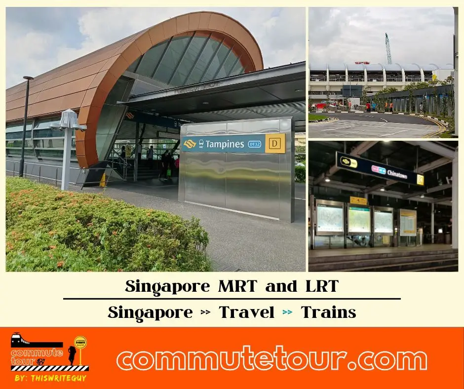
Singapore MRT / LRT Map
Singapore MRT / LRT Map. You can remove the other lines by tapping the top left corner of the map with arrow and unchecking the box/es.
Click here to search for MRT / LRT Station
Singapore MRT / LRT Map
Click the MRT / LRT Line below for more details.
MRT
LRT
Monorail
Cross Border
Featured
Click the time stamps below