Bus 124 Route Map, Schedule and Bus Stops | Singapore
Bus 124 Route
SBS Transit Bus 124 Route from St. Michael’s Terminal to Harbourfront Interchange and vice versa passes along Balestier Road, Bras Basah Road, Eu Tong Sen Street, Henderson Road, Hill Street, Jalan Bahagia, Kampong Bahru Road, Kim Keat Road, Lower Delta Road, Moulmein Road, New Bridge Road, Newton Road, North Bridge Road, Orchard Road, Orchard Turn, Penang Road, Scotts Road, Seah Im Road, Somerset Road, South Bridge Road, Stamford Road, Telok Blangah Drive, Telok Blangah Hts, Telok Blangah Road, Telok Blangah Street 31, Telok Blangah Way, Upper Cross Street, Whampoa Drive and Whampoa Road.
SBS Transit Bus 124 Route also connects with the following stations: Bencoolen, Bras Basah, Chinatown, City Hall, Clarke Quay, Dhoby Ghaut, Harbourfront, Newton, Orchard, Outram Park, Somerset, Vivo City
Travelling today or planning for a commute via SBS Transit Bus 124? Learn more about the SG Bus 124 Bus Schedule, Bus Stops and Route Map.
NOTICE: The fares and schedules listed here may subject to change without prior notice. Pls check with the companies for the updated details.
CommuteTour is in no way affiliated with any of the buses / trains / tourist spots listed on any of its pages.
Subscribe: youtube.com/@commutetour
SBS Transit Bus 124 Details
| Category | Information |
|---|---|
| Bus Route | 124 |
| Operator | SBS Transit |
| Dir 1 # of Stops | 46 |
| Dir 2 # of Stops | 45 |
| Origin | St. Michael’s Terminal |
| Destination | Harbourfront Interchange |
| Direction | Two Way |
Bus 124 Schedule
SBS Transit Bus 124 schedule from St. Michael’s Terminal to HarbourFront Interchange is from 05:30 to 24:00 from Monday to Sunday / Holidays while the bus schedule from HarbourFront Interchange is from 05:30 to 24:00 from Monday to Sunday / Holidays.
| From | Monday to Friday | Saturday | Sunday / Holiday |
|---|---|---|---|
| St. Michael’s Ter | 05:30 to 24:00 | 05:30 to 24:00 | 05:30 to 24:00 |
| HarbourFront Int | 05:30 to 24:00 | 05:30 to 24:00 | 05:30 to 24:00 |
| Frequency | Before 8:30 | 08:31 – 16:59 | 17:00 – 19:00 | After 19:00 |
|---|---|---|---|---|
| From St. Michael’s Ter | 7 – 9 minutes | 8 – 13 minutes | 7 – 12 minutes | 10 – 12 minutes |
| From HarbourFront | 7 – 8 minutes | 8 – 13 minutes | 8 – 9 minutes | 8 – 13 minutes |
SG Bus 124 Route Map
Bus 124 Route Map
Tap the top right of the map for full screen view. You can return to this page by clicking on the link on the google map description
SBS Transit Bus 124 Bus Stops
The Bus Stops along SBS Transit Bus 124 Route include: Al-Amin Mosque, Balestier Point, Boat Quay, Caribbean At Keppel Bay, Christian Community Chapel, Concorde Hotel Singapore, Env Building, Far East Plaza, Hotel Royal, Keppel Distripark Blk 519, Kim Keat Lane, Melati Blk 2, National Skin Center, New Bridge Center, Newton Life Church, Ngee Ann City, Nkf, Old Hill Street Police Station, Revival Center Church, Royal Plaza On Scotts, Safra Mt Faber, St. Joseph Institution Jnr, St. Teresa’s Church, Stamford Court, Tan Tock Seng Hospital, Telok Blangah Hts, Telok Blangah Market/Fc, The Pearl @ Mt Faber, The Treasury, Winsland House and YMCA.
Bus 124 passes along Blk 104, Blk 105, Blk 114, Blk 25, Blk 27, Blk 29, Blk 40, Blk 48, Blk 50, Blk 59, Blk 70a, Blk 70b, Blk 82, Blk 85, Blk 91a, Blk 92b and Blks 33/34.
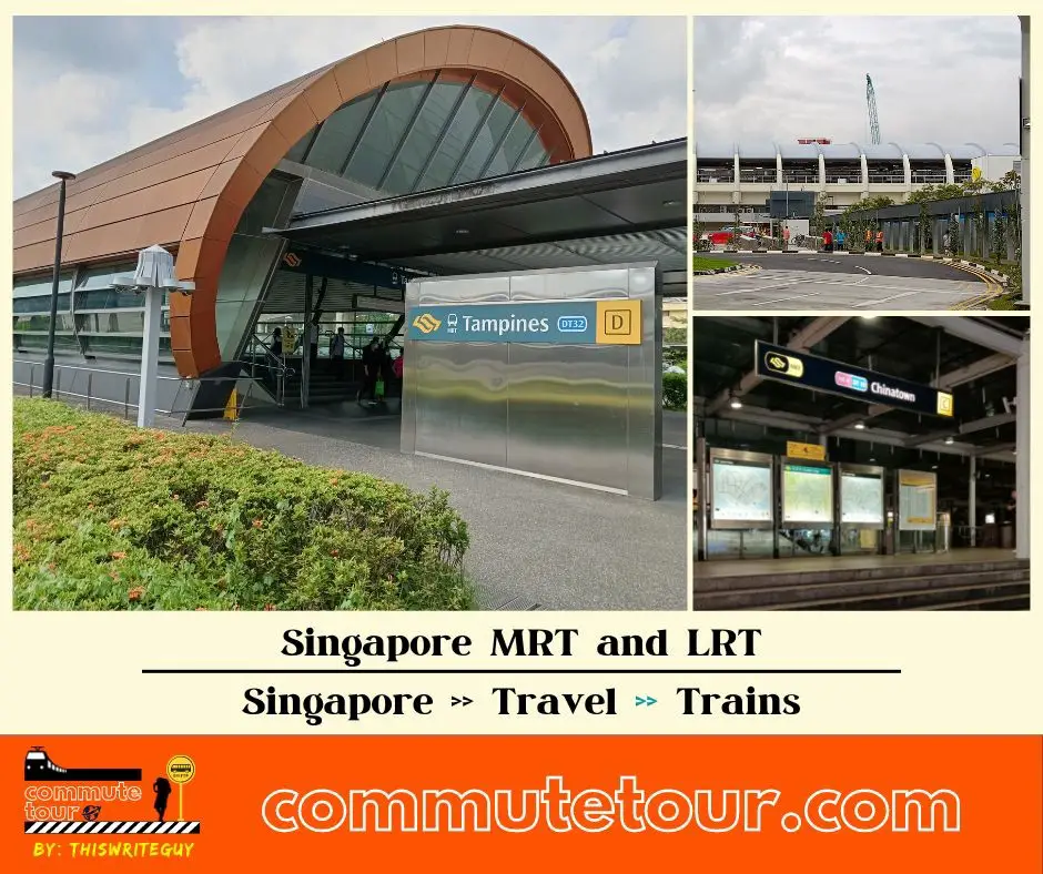
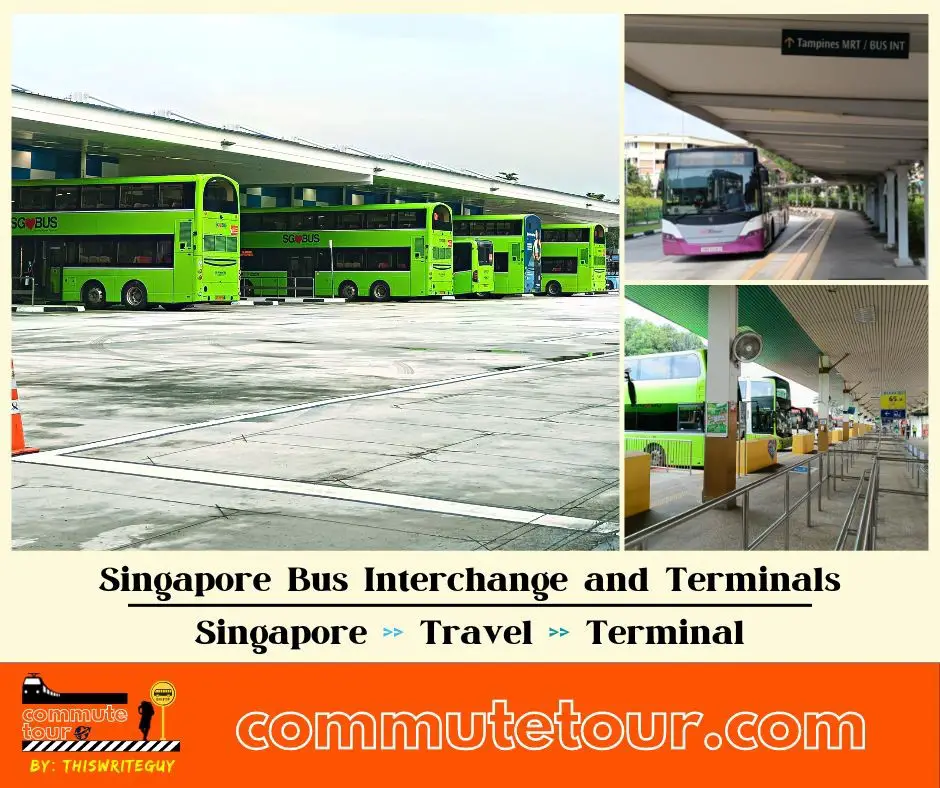
MRT Stations along Bus 124 Route include: Bencoolen, Bras Basah, Chinatown, City Hall, Clarke Quay, Dhoby Ghaut, Harbourfront, Newton, Orchard, Outram Park, Somerset, Vivo City and connects with Harbourfront Interchange, Kampong Bahru Terminal, St. Michael’s Terminal.
St. Michael’s Terminal (52499)
Road: Whampoa Road
Terminal: St. Michael’s TerminalBlk 114 (52451)
Road: Whampoa RoadBlk 29 (52129)
Road: Jalan BahagiaBetween Blks 33/34 (52109)
Road: Jalan BahagiaOpposite Nkf (52099)
Road: Kim Keat RoadBefore Kim Keat Lane (50159)
Road: Kim Keat RoadOpposite Balestier Point (50211)
Road: Balestier RoadBefore Blk 104 (50221)
Road: Balestier RoadOpposite Tan Tock Seng Hospital (50129)
Road: Moulmein RoadSt. Joseph Institution Jnr (50119)
Road: Moulmein RoadHotel Royal (50069)
Road: Newton RoadNewton Life Church (40129)
Road: Newton RoadEnv Building (40179)
Road: Scotts RoadFar East Plaza (09219)
Road: Scotts RoadOrchard Station/Tang Plaza (09047)
Road: Orchard Road
Station Code: NS22 TE14
Train Line/s: North-South Line MRT Thomson-East Coast Line MRTBefore Cairnhill Road (09037)
Road: Orchard Road
Station Code: NS22 TE14
Train Line/s: North-South Line MRT Thomson-East Coast Line MRTConcorde Hotel Singapore (08138)
Road: Orchard RoadDhoby Ghaut Station (08057)
Road: Orchard Road
Station Code: CC1 NE6 NS24
Train Line/s: Circle Line MRT North East Line MRT North-South Line MRTBencoolen Station Exit B (08069)
Road: Bras Basah Road
Station Code: DT21
Train Line/s: Downtown Line MRTCity Hall Station Exit B (04167)
Road: North Bridge Road
Station Code: EW13 NS25
Train Line/s: East-West Line MRT North-South Line MRTOpposite The Treasury (04249)
Road: North Bridge RoadBoat Quay (05029)
Road: South Bridge RoadOpposite Hong Lim Complex (05131)
Road: Upper Cross Street
Station Code: DT19 NE4
Train Line/s: Downtown Line MRT North East Line MRTNew Bridge Center (05039)
Road: New Bridge RoadAfter Duxton Plain Park (05019)
Road: New Bridge Road
Station Code: EW16 NE3 TE17
Train Line/s: East-West Line MRT North East Line MRT Thomson-East Coast Line MRTOutram Park Station Exit H (05069)
Road: New Bridge Road
Station Code: EW16 NE3 TE17
Train Line/s: East-West Line MRT North East Line MRT Thomson-East Coast Line MRTBefore Neil Road (10011)
Road: New Bridge RoadBefore Kampong Bahru Terminal (10041)
Road: Kampong Bahru Road
Terminal: Kampong Bahru TerminalMelati Blk 2 (10399)
Road: Kampong Bahru RoadOpposite St. Teresa’s Church (14221)
Road: Kampong Bahru RoadKeppel Distripark Blk 519 (14231)
Road: Kampong Bahru RoadThe Pearl @ Mt Faber (14021)
Road: Lower Delta RoadBlk 40 (14379)
Road: Lower Delta RoadBlk 27 (14291)
Road: Telok Blangah WayAl-Amin Mosque (14271)
Road: Telok Blangah WaySafra Mt Faber (14281)
Road: Telok Blangah WayBefore Telok Blangah Hts (14059)
Road: Henderson RoadBlk 59 (14349)
Road: Telok Blangah HtsBlk 70a (14339)
Road: Telok Blangah HtsBlk 85 (14399)
Road: Telok Blangah HtsBlk 92b (14509)
Road: Telok Blangah Street 31Telok Blangah Market/Fc (14499)
Road: Telok Blangah DriveBlk 50 (14359)
Road: Telok Blangah DriveBefore Christian Community Chapel (14159)
Road: Telok Blangah RoadBefore Seah Im Road (14139)
Road: Telok Blangah RoadHarbourfront Interchange (14009)
Road: Seah Im Road
Station Code: CC29 NE1 S1
Train Line/s: Circle Line MRT North East Line MRT Sentosa Express Monorail
Terminal: Harbourfront Interchange
Harbourfront Interchange (14009)
Road: Seah Im Road
Station Code: CC29 NE1 S1
Train Line/s: Circle Line MRT North East Line MRT Sentosa Express Monorail
Terminal: Harbourfront InterchangeCaribbean At Keppel Bay (14131)
Road: Telok Blangah RoadOpposite Christian Community Chapel (14151)
Road: Telok Blangah RoadAfter Blk 48 (14351)
Road: Telok Blangah DriveOpposite Telok Blangah Market/Fc (14491)
Road: Telok Blangah DriveOpposite Blk 91a (14501)
Road: Telok Blangah Street 31Opposite Blk 85 (14391)
Road: Telok Blangah HtsOpposite Blk 70b (14331)
Road: Telok Blangah HtsOpposite Blk 59 (14341)
Road: Telok Blangah HtsAfter Telok Blangah Hts (14051)
Road: Henderson RoadBlk 25 (14279)
Road: Telok Blangah WayOpposite Blk 27 (14299)
Road: Telok Blangah WayBlk 105 (14029)
Road: Lower Delta RoadOpposite Keppel Distripark Blk 519 (14239)
Road: Kampong Bahru RoadSt. Teresa’s Church (14229)
Road: Kampong Bahru RoadOpposite Melati Blk 2 (10391)
Road: Kampong Bahru RoadOpposite Kampong Bahru Terminal (10049)
Road: Kampong Bahru Road
Terminal: Kampong Bahru TerminalAfter Hospital Drive (10017)
Road: Eu Tong Sen Street
Station Code: EW16 NE3 TE17
Train Line/s: East-West Line MRT North East Line MRT Thomson-East Coast Line MRTOutram Park Station Exit F/Sgh (10018)
Road: Eu Tong Sen Street
Station Code: EW16 NE3 TE17
Train Line/s: East-West Line MRT North East Line MRT Thomson-East Coast Line MRTBefore Pearl’s Hill Terrace (05012)
Road: Eu Tong Sen Street
Station Code: EW16 NE3 TE17
Train Line/s: East-West Line MRT North East Line MRT Thomson-East Coast Line MRTAfter Chinatown Station Exit D (05022)
Road: Eu Tong Sen Street
Station Code: DT19 NE4
Train Line/s: Downtown Line MRT North East Line MRTClarke Quay Station Exit E (04222)
Road: Eu Tong Sen Street
Station Code: NE5
Train Line/s: North East Line MRTOld Hill Street Police Station (04223)
Road: Hill StreetStamford Court (04143)
Road: Hill StreetSMU (04121)
Road: Stamford Road
Station Code: CC2
Train Line/s: Circle Line MRTYMCA (08041)
Road: Orchard RoadDhoby Ghaut Station Exit B (08031)
Road: Penang Road
Station Code: CC1 NE6 NS24
Train Line/s: Circle Line MRT North East Line MRT North-South Line MRTWinsland House (08111)
Road: Penang RoadSomerset Station (08121)
Road: Somerset Road
Station Code: NS23
Train Line/s: North-South Line MRTOpposite Ngee Ann City (09011)
Road: Orchard TurnOpposite Orchard Station/Ion (09023)
Road: Orchard Turn
Station Code: NS22 TE14
Train Line/s: North-South Line MRT Thomson-East Coast Line MRTRoyal Plaza On Scotts (09212)
Road: Scotts RoadOpposite Env Building (40171)
Road: Scotts RoadNewton Station Exit A (40181)
Road: Scotts Road
Station Code: DT11 NS21
Train Line/s: Downtown Line MRT North-South Line MRTOpposite Newton Life Church (40121)
Road: Newton RoadOpposite Hotel Royal (50061)
Road: Newton RoadRevival Center Church (50111)
Road: Moulmein RoadNational Skin Center (50121)
Road: Moulmein RoadOpposite Blk 104 (50229)
Road: Balestier RoadBlk 82 (50991)
Road: Whampoa DriveBlk 29 (52129)
Road: Jalan BahagiaBetween Blks 33/34 (52109)
Road: Jalan BahagiaSt. Michael’s Terminal (52499)
Road: Whampoa Road
Terminal: St. Michael’s Terminal
Feel Free to click any of the Terminal, Transport links above
Singapore MRT / LRT Map
Singapore MRT / LRT Map. You can remove the other lines by tapping the top left corner of the map with arrow and unchecking the box/es.
Click here to search for MRT / LRT Station
Singapore MRT / LRT Map
Click the MRT / LRT Line below for more details.
MRT
LRT
Monorail
Cross Border
Featured
Click the time stamps below