Bus 186 Route Map, Schedule and Bus Stops | Singapore
Bus 186 Route
SBS Transit Bus 186 Route from Shenton Way Terminal to St. Michael’s Terminal and vice versa passes along Alexandra Road, Anson Road, Balestier Road, Bukit Timah Road, Cecil Street, Church Street, Commonwealth Avenue, Cross Street, Dunearn Road, Farrer Road, Ganges Avenue, Havelock Road, Jalan Bahagia, Kim Keat Road, PIE, Queensway, Raffles Quay, Shenton Way, Thomson Road, Upper Cross Street, Upper Pickering Street, Whampoa Drive, Whampoa Road and Whitley Road.
SBS Transit Bus 186 Route also connects with the following stations: Botanic Gardens, Chinatown, Farrer Road, Havelock, Queenstown, Shenton Way, Stevens, Tanjong Pagar, Telok Ayer
Travelling today or planning for a commute via SBS Transit Bus 186? Learn more about the SG Bus 186 Bus Schedule, Bus Stops and Route Map.
NOTICE: The fares and schedules listed here may subject to change without prior notice. Pls check with the companies for the updated details.
CommuteTour is in no way affiliated with any of the buses / trains / tourist spots listed on any of its pages.
Subscribe: youtube.com/@commutetour
SBS Transit Bus 186 Details
| Category | Information |
|---|---|
| Bus Route | 186 |
| Operator | SBS Transit |
| Dir 1 # of Stops | 43 |
| Dir 2 # of Stops | 42 |
| Origin | Shenton Way Terminal |
| Destination | St. Michael’s Terminal |
| Direction | Two Way |
Bus 186 Schedule
SBS Transit Bus 186 schedule from Shenton Way Terminal to St. Michael’s Terminal is from 06:00 to 24:00 from Monday to Sunday / Holidays while the bus schedule from St. Michael’s Terminal is from 06:00 to 23:45 from Monday to Sunday / Holidays.
| From | Monday to Friday | Saturday | Sunday / Holiday |
|---|---|---|---|
| Shenton Way Ter | 06:00 to 24:00 | 06:00 to 24:00 | 06:00 to 24:00 |
| St. Michael’s Ter | 06:00 to 23:45 | 06:00 to 23:45 | 06:00 to 23:45 |
| Frequency | Before 8:30 | 08:31 – 16:59 | 17:00 – 19:00 | After 19:00 |
|---|---|---|---|---|
| From Shenton Way Ter | 15 – 17 minutes | 11 – 18 minutes | 11 – 14 minutes | 11 – 22 minutes |
| From St. Michael’s Ter | 9 – 14 minutes | 12 – 18 minutes | 13 – 18 minutes | 17 – 25 minutes |
SG Bus 186 Route Map
Bus 186 Route Map
Tap the top right of the map for full screen view. You can return to this page by clicking on the link on the google map description
SBS Transit Bus 186 Bus Stops
The Bus Stops along SBS Transit Bus 186 Route include: Balestier Plaza, Balestier Point, Catholic Junior College (JC), Central Square, Church of Our Saviour, Delta Sports Hall, Gan Eng Seng Secondary School, Ganges Center, Gb Building, Harvest Mansions, Holland Hill Lodge, Hotel Miramar, Jalan Dusun, Kim Keat Lane, Leedon Green, Lutheran Towers, Nkf, Nus Bukit Timah Campus, Old Police Acad, One Raffles Quay, One Upper Pickering, Public Mansion, Queens Condominium, Queensway Secondary School, River Place Condominium, Shaw Plaza, Sis Building, Spanish Village, St. Joseph’s Institution, St. Margaret’s Secondary School, State Court, Tanglin View, Thomson Flyover, Viz Holland and Zhongshan Mall.
Bus 186 passes along Blk 114, Blk 2, Blk 29, Blk 42, Blk 51, Blk 53a, Blk 79, Blk 82, Blk 95, Blk 97 and Blks 33/34.
MRT Stations along Bus 186 Route include: Botanic Gardens, Chinatown, Farrer Road, Havelock, Queenstown, Shenton Way, Stevens, Tanjong Pagar, Telok Ayer and connects with Shenton Way Terminal, St. Michael’s Terminal.
Shenton Way Terminal (03239)
Road: Shenton Way
Terminal: Shenton Way TerminalTanjong Pagar Station Exit C (03223)
Road: Anson Road
Station Code: EW15
Train Line/s: East-West Line MRTOpposite Gb Building (03151)
Road: Cecil StreetTelok Ayer Station Exit A (03041)
Road: Cross Street
Station Code: DT18
Train Line/s: Downtown Line MRTOpposite Hong Lim Complex (05131)
Road: Upper Cross Street
Station Code: DT19 NE4
Train Line/s: Downtown Line MRT North East Line MRTOpposite State Court (06171)
Road: Upper Cross StreetBlk 2 (06161)
Road: Havelock RoadHotel Miramar (06151)
Road: Havelock RoadHoliday Inn Atrium (06141)
Road: Havelock Road
Station Code: TE16
Train Line/s: Thomson-East Coast Line MRTGanges Center (10221)
Road: Ganges AvenueBlk 51 Carpark (10231)
Road: Ganges AvenueGan Eng Seng Secondary School (10241)
Road: Alexandra RoadDelta Sports Hall (10261)
Road: Alexandra RoadOpposite Tanglin View (10271)
Road: Alexandra RoadSis Building (10281)
Road: Alexandra RoadBefore Dawson Road (10291)
Road: Alexandra RoadQueens Condominium (11131)
Road: Commonwealth AvenueQueenstown Station Exit A/D (11141)
Road: Commonwealth Avenue
Station Code: EW19
Train Line/s: East-West Line MRTBlk 42 (11151)
Road: Commonwealth AvenueOpposite Queensway Secondary School (11061)
Road: QueenswayBlk 97 (11071)
Road: QueenswayViz Holland (11081)
Road: QueenswayLeedon Green (11091)
Road: Farrer RoadFarrer Road Market (11101)
Road: Farrer RoadFarrer Road Station Exit B (11111)
Road: Farrer Road
Station Code: CC20
Train Line/s: Circle Line MRTSt. Margaret’s Secondary School (41101)
Road: Farrer RoadLutheran Towers (41111)
Road: Farrer RoadOpposite Botanic Gardens Station (41029)
Road: Dunearn Road
Station Code: DT9 CC19
Train Line/s: Downtown Line MRT Circle Line MRTAfter Kheam Hock Road (41019)
Road: Dunearn RoadAfter Dunkirk Avenue (40099)
Road: Dunearn RoadRaffles Town Club (40231)
Road: Whitley Road
Station Code: DT10 TE11
Train Line/s: Downtown Line MRT Thomson-East Coast Line MRTBefore Thomson Flyover (51101)
Road: PIEThomson Flyover (51019)
Road: Thomson RoadBefore Jalan Dusun (50161)
Road: Balestier RoadZhongshan Mall (50171)
Road: Balestier RoadBefore Balestier Plaza (50191)
Road: Balestier RoadShaw Plaza (50201)
Road: Balestier RoadOpposite Balestier Point (50211)
Road: Balestier RoadBlk 82 (50991)
Road: Whampoa DriveBlk 29 (52129)
Road: Jalan BahagiaBetween Blks 33/34 (52109)
Road: Jalan BahagiaSt. Michael’s Terminal (52499)
Road: Whampoa Road
Terminal: St. Michael’s Terminal
St. Michael’s Terminal (52499)
Road: Whampoa Road
Terminal: St. Michael’s TerminalBlk 114 (52451)
Road: Whampoa RoadBlk 29 (52129)
Road: Jalan BahagiaBetween Blks 33/34 (52109)
Road: Jalan BahagiaOpposite Nkf (52099)
Road: Kim Keat RoadBefore Kim Keat Lane (50159)
Road: Kim Keat RoadAfter Pegu Road (50209)
Road: Balestier RoadOpposite Shaw Plaza (50199)
Road: Balestier RoadOpposite Public Mansion (50189)
Road: Balestier RoadOpposite Zhongshan Mall (50179)
Road: Balestier RoadAfter Irrawaddy Road (50169)
Road: Balestier RoadOpposite Old Police Acad (51109)
Road: Whitley RoadCatholic Junior College (JC) (51099)
Road: Whitley RoadSt. Joseph’s Institution (40249)
Road: Whitley RoadAfter Tanglin Community Club (Cc) (40239)
Road: Whitley Road
Station Code: DT10 TE11
Train Line/s: Downtown Line MRT Thomson-East Coast Line MRTBefore Lewis Road (40091)
Road: Bukit Timah RoadNus Bukit Timah Campus (41011)
Road: Bukit Timah RoadBotanic Gardens Station (41021)
Road: Bukit Timah Road
Station Code: DT9 CC19
Train Line/s: Downtown Line MRT Circle Line MRTOpposite Lutheran Towers (41119)
Road: Farrer RoadOpposite St. Margaret’s Secondary School (41109)
Road: Farrer RoadFarrer Road Station Exit A (11119)
Road: Farrer Road
Station Code: CC20
Train Line/s: Circle Line MRTSpanish Village (11109)
Road: Farrer RoadOpposite Leedon Green (11099)
Road: Farrer RoadOpposite Holland Hill Lodge (11089)
Road: QueenswayOpposite Blk 95 (11079)
Road: QueenswayQueensway Secondary School (11069)
Road: QueenswayAfter Church of Our Saviour (11159)
Road: Commonwealth AvenueQueenstown Station Exit B/C (11149)
Road: Commonwealth Avenue
Station Code: EW19
Train Line/s: East-West Line MRTBlk 53a Carpark (11139)
Road: Commonwealth AvenueAfter Dawson Road (10299)
Road: Alexandra RoadOpposite Sis Building (10289)
Road: Alexandra RoadTanglin View (10279)
Road: Alexandra RoadOpposite Delta Sports Hall (10269)
Road: Alexandra RoadOpposite Gan Eng Seng Secondary School (10249)
Road: Alexandra RoadBlk 79 (10239)
Road: Ganges AvenueOpposite Harvest Mansions (10229)
Road: Ganges AvenueOpposite Holiday Inn Atrium (06149)
Road: Havelock Road
Station Code: TE16
Train Line/s: Thomson-East Coast Line MRTOpposite Hotel Miramar (06159)
Road: Havelock RoadRiver Place Condominium (06169)
Road: Havelock RoadCentral Square (06189)
Road: Havelock RoadOpposite One Upper Pickering (05129)
Road: Upper Pickering StreetOcbc Center (05319)
Road: Church Street
Station Code: DT18
Train Line/s: Downtown Line MRTOne Raffles Quay (03059)
Road: Raffles QuayUIC Building (03129)
Road: Shenton Way
Station Code: TE19
Train Line/s: Thomson-East Coast Line MRTOpposite MAS Building (03218)
Road: Shenton Way
Station Code: EW15
Train Line/s: East-West Line MRTShenton Way Terminal (03239)
Road: Shenton Way
Terminal: Shenton Way Terminal
Feel Free to click any of the Terminal, Transport links above
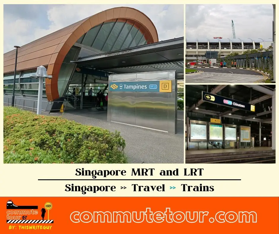
Singapore MRT / LRT Map
Singapore MRT / LRT Map. You can remove the other lines by tapping the top left corner of the map with arrow and unchecking the box/es.
Click here to search for MRT / LRT Station
Singapore MRT / LRT Map
Click the MRT / LRT Line below for more details.
MRT
LRT
Monorail
Cross Border
Featured
Click the time stamps below