Bus 26 Route Map, Schedule and Bus Stops | Singapore
Bus 26 Route
SBS Transit Bus 26 Route from Bedok Interchange to Toa Payoh Interchange and vice versa passes along Bedok North Drive, Bendemeer Road, Boon Keng Road, Chai Chee Drive, Chai Chee Street, Changi Road, Geylang Bahru, Geylang Road, Jalan Toa Payoh, Kallang Bahru, Lorong 1 Geylang, Lorong 6 Toa Payoh, Serangoon Road, Sims Avenue and Sims Avenue East.
SBS Transit Bus 26 Route also connects with the following stations: Aljunied, Bedok, Eunos, Geylang Bahru, Kallang, Kembangan, Paya Lebar, Toa Payoh
Travelling today or planning for a commute via SBS Transit Bus 26? Learn more about the SG Bus 26 Bus Schedule, Bus Stops and Route Map.
NOTICE: The fares and schedules listed here may subject to change without prior notice. Pls check with the companies for the updated details.
CommuteTour is in no way affiliated with any of the buses / trains / tourist spots listed on any of its pages.
Subscribe: youtube.com/@commutetour
SBS Transit Bus 26 Details
| Category | Information |
|---|---|
| Bus Route | 26 |
| Operator | SBS Transit |
| Dir 1 # of Stops | 34 |
| Dir 2 # of Stops | 33 |
| Origin | Bedok Interchange |
| Destination | Toa Payoh Interchange |
| Direction | Two Way |
Bus 26 Schedule
SBS Transit Bus 26 schedule from Bedok Interchange to Toa Payoh Interchange is from 06:00 to 23:30 from Monday to Sunday / Holidays while the bus schedule from Toa Payoh Interchange is from 05:45 to 23:30 from Monday to Saturday, and 06:00 to 23:30 every Sunday and Holidays.
| From | Monday to Friday | Saturday | Sunday / Holiday |
|---|---|---|---|
| Bedok Int | 06:00 to 23:30 | 06:00 to 23:30 | 06:00 to 23:30 |
| Toa Payoh Int | 05:45 to 23:30 | 05:45 to 23:30 | 06:00 to 23:30 |
| Frequency | Before 8:30 | 08:31 – 16:59 | 17:00 – 19:00 | After 19:00 |
|---|---|---|---|---|
| From Bedok | 08 – 10 minutes | 09 – 13 minutes | 09 – 11 minutes | 10 – 12 minutes |
| From Toa Payoh | 08 – 10 minutes | 09 – 13 minutes | 10 – 12 minutes | 11 – 13 minutes |
SG Bus 26 Route Map
Bus 26 Route Map
Tap the top right of the map for full screen view. You can return to this page by clicking on the link on the google map description
SBS Transit Bus 26 Bus Stops
The Bus Stops along SBS Transit Bus 26 Route include: Bedok South NPC, Casa Sarina, Chai Chee Street, Chubb Singapore, City Plaza, Hong San Si Temple, Joo Chiat Complex, Kallang Place, Kampong Eunos, Lorong 1 Geylang, Lorong 106 Changi, Lorong 110 Changi, Lorong 18 Geylang, Lorong 23 Geylang, Lorong 28 Geylang, Lorong 34 Geylang, Lorong 39 Geylang, Mohd Salleh Mosque, Mom Svcs Center, Moonstone Lane, Perpetual Succour Church, Siglap Plain, Sims Ville, Sims Way, St. Andrew’s Village, St. Michael’s Place, Toa Payoh Stadium, Toa Payoh Swim Complex and Yi Xiu Factory Building.
Bus 26 passes along Blk 134, Blk 14 Market/Fc, Blk 16, Blk 195, Blk 414, Blk 42, Blk 51, Blk 53, Blk 54, Blk 55, Blk 66, Blk 68 and Blks 50/51.
SBS Transit Bus 26 Route also connects with the following stations: Aljunied, Bedok, Eunos, Geylang Bahru, Kallang, Kembangan, Paya Lebar, Toa Payoh and terminals: Bedok Interchange, Toa Payoh Interchange
Bedok Interchange (84009)
Road: Bedok North Drive
Station Code: EW5
Train Line/s: East-West Line MRT
Terminal: Bedok InterchangeOpposite Blk 42 (84549)
Road: Chai Chee StreetOpposite Blks 50/51 (84559)
Road: Chai Chee StreetOpposite Blk 53 (84569)
Road: Chai Chee StreetAfter Chai Chee Street (84579)
Road: Chai Chee DriveBefore New Upper Changi Road (84589)
Road: Chai Chee DriveAfter Perpetual Succour Church (83099)
Road: Changi RoadBefore Siglap Plain (83079)
Road: Changi RoadMasjid Kassim (83059)
Road: Changi Road
Station Code: EW6
Train Line/s: East-West Line MRTBefore Lorong 110 Changi (83049)
Road: Changi RoadAfter Kampong Eunos (83029)
Road: Changi RoadAfter Lorong 106 Changi (82069)
Road: Changi RoadJoo Chiat Complex (82049)
Road: Changi RoadBlk 14 Market/Fc (82029)
Road: Geylang RoadCity Plaza (82109)
Road: Geylang RoadOpposite Lorong 39 Geylang (81069)
Road: Geylang RoadAfter Lorong 34 Geylang (81049)
Road: Geylang RoadAfter Lorong 28 Geylang (81029)
Road: Geylang RoadBefore Lorong 18 Geylang (80089)
Road: Geylang RoadOpposite Mohd Salleh Mosque (80069)
Road: Geylang RoadAfter Sims Way (80049)
Road: Geylang RoadKallang Station/Opposite Blk 2c (80101)
Road: Lorong 1 Geylang
Station Code: EW10
Train Line/s: East-West Line MRTOpposite Kallang Place (60051)
Road: Boon Keng RoadChubb Singapore (60021)
Road: Kallang BahruBefore Geylang Bahru Station (60031)
Road: Kallang Bahru
Station Code: DT24
Train Line/s: Downtown Line MRTBlk 68 (60229)
Road: Geylang BahruBlk 54 (60159)
Road: Bendemeer RoadSt. Michael’s Place (60161)
Road: Serangoon RoadAfter Moonstone Lane (60181)
Road: Serangoon RoadOpposite St. Andrew’s Village (60089)
Road: Jalan Toa PayohOpposite Blk 195 (52089)
Road: Jalan Toa PayohToa Payoh Stadium (52321)
Road: Lorong 6 Toa PayohToa Payoh Swim Complex (52501)
Road: Lorong 6 Toa PayohToa Payoh Interchange (52009)
Road: Lorong 6 Toa Payoh
Station Code: NS19
Train Line/s: North-South Line MRT
Terminal: Toa Payoh Interchange
Toa Payoh Interchange (52009)
Road: Lorong 6 Toa Payoh
Station Code: NS19
Train Line/s: North-South Line MRT
Terminal: Toa Payoh InterchangeOpposite Toa Payoh Swim Complex (52509)
Road: Lorong 6 Toa PayohOpposite Toa Payoh Stadium (52329)
Road: Lorong 6 Toa PayohAfter Blk 195 (52081)
Road: Jalan Toa PayohSt. Andrew’s Village (60081)
Road: Jalan Toa PayohMom Svcs Center (60179)
Road: Bendemeer RoadGeylang Bahru Station (60221)
Road: Geylang Bahru
Station Code: DT24
Train Line/s: Downtown Line MRTOpposite Blk 66 (60039)
Road: Kallang BahruBlk 16 (60029)
Road: Kallang Bahru
Station Code: DT24
Train Line/s: Downtown Line MRTBefore Kallang Place (60059)
Road: Boon Keng RoadOpposite Kallang Station/Blk 2c (80109)
Road: Lorong 1 Geylang
Station Code: EW10
Train Line/s: East-West Line MRTAfter Lorong 1 Geylang (80051)
Road: Sims AvenueYi Xiu Factory Building (80071)
Road: Sims AvenueBefore Lorong 23 Geylang (80091)
Road: Sims AvenueAfter Aljunied Station (81011)
Road: Sims Avenue
Station Code: EW9
Train Line/s: East-West Line MRTBlk 134 (81031)
Road: Sims AvenueSims Ville (81051)
Road: Sims AvenueAfter Paya Lebar Quarter (82011)
Road: Sims Avenue
Station Code: EW8 CC9
Train Line/s: East-West Line MRT Circle Line MRTBlk 414 (82033)
Road: Sims AvenueEunos Station/Interchange (82061)
Road: Sims Avenue
Station Code: EW7
Train Line/s: East-West Line MRTCasa Sarina (83011)
Road: Sims Avenue EastOpposite Hong San Si Temple (83031)
Road: Sims Avenue EastKembangan Station (83062)
Road: Sims Avenue East
Station Code: EW6
Train Line/s: East-West Line MRTOpposite Perpetual Succour Church (83081)
Road: Sims Avenue EastOpposite Bedok South NPC (84581)
Road: Chai Chee DriveOpposite Blk 55 (84571)
Road: Chai Chee DriveBlk 53 (84561)
Road: Chai Chee StreetBlk 51 (84551)
Road: Chai Chee StreetBlk 42 (84541)
Road: Chai Chee StreetBedok Interchange (84009)
Road: Bedok North Drive
Station Code: EW5
Train Line/s: East-West Line MRT
Terminal: Bedok Interchange
Feel Free to click any of the Terminal, Transport links above
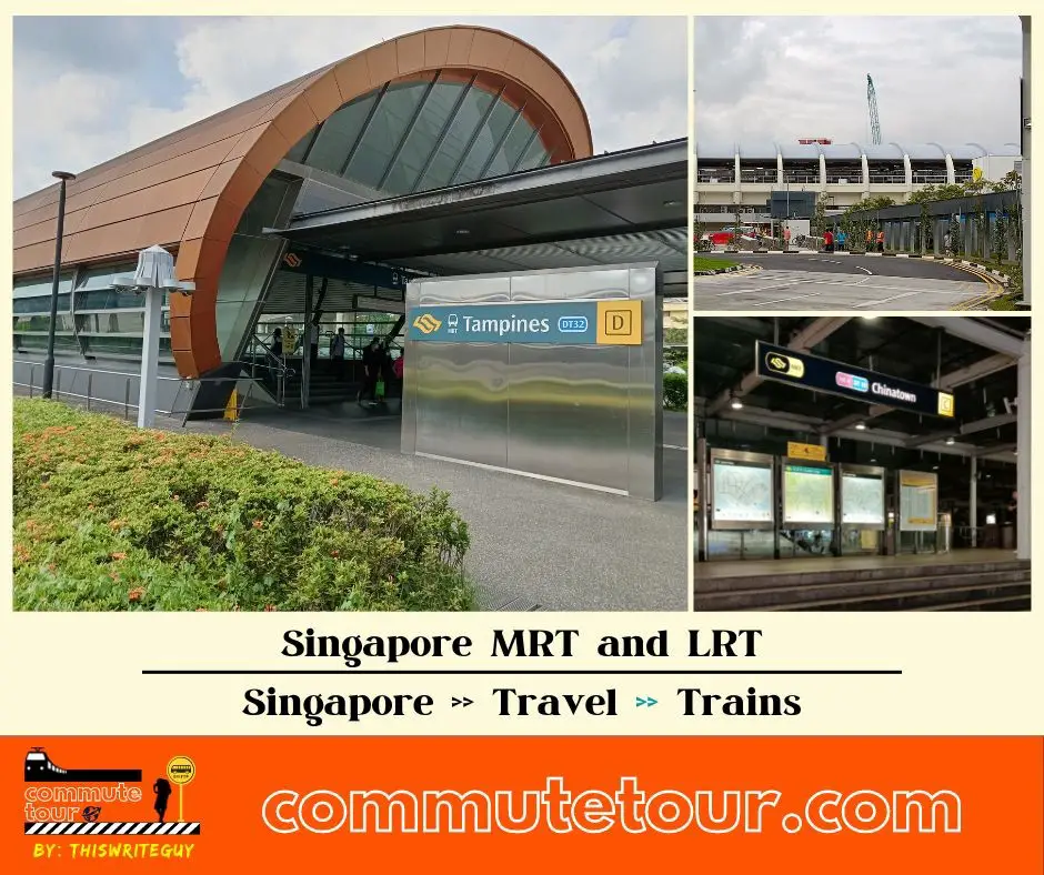
Singapore MRT / LRT Map
Singapore MRT / LRT Map. You can remove the other lines by tapping the top left corner of the map with arrow and unchecking the box/es.
Click here to search for MRT / LRT Station
Singapore MRT / LRT Map
Click the MRT / LRT Line below for more details.
MRT
LRT
Monorail
Cross Border
Featured
Click the time stamps below