Bus 33b Route Map, Schedule and Bus Stops | Singapore
Bus 33b Route
SBS Transit Bus 33b Route from Bedok Interchange to Blk 22 one way → passes along Bedok North Drive, Changi Road, Dunman Road, Joo Chiat Place, Joo Chiat Road, New Upper Changi Road, Old Airport Road and Telok Kurau Road.
SBS Transit Bus 33B Route also connects with the following stations: Bedok, Dakota, Kembangan, Mountbatten
Travelling today or planning for a commute via SBS Transit Bus 33b? Learn more about the SG Bus 33b Bus Schedule, Bus Stops and Route Map.
NOTICE: The fares and schedules listed here may subject to change without prior notice. Pls check with the companies for the updated details.
CommuteTour is in no way affiliated with any of the buses / trains / tourist spots listed on any of its pages.
Subscribe: youtube.com/@commutetour
SBS Transit Bus 33b Details
| Category | Information |
|---|---|
| Bus Route | 33B |
| Operator | SBS Transit |
| Dir 1 # of Stops | 18 |
| Origin | Bedok Interchange |
| Destination | Blk 22 |
| Direction | One Way |
Bus 33B Schedule
SBS Transit Bus 33B schedule from Bedok Interchange to Blk 22 is from 07:25 to 08:42 from Monday to Friday.
| From | Monday to Friday | Saturday | Sunday / Holiday |
|---|---|---|---|
| Bedok Int | 07:25 to 08:42 |
| Frequency | Before 6:30 AM | 8:31 to 16:59 | 17:00 –19:00 | After 19:01 |
|---|---|---|---|---|
| Weekdays | ||||
| Saturdays | ||||
| Sundays / Public Holidays |
SG Bus 33b Route Map
Bus 33B Route Map
Tap the top right of the map for full screen view. You can return to this page by clicking on the link on the google map description
SBS Transit Bus 33b Bus Stops
The Bus Stops along SBS Transit Bus 33B Route include: Chai Chee Industrial Park, Lorong 110 Changi, Maranatha Hall, Parkway East Hospital, Perpetual Succour Church, Siglap Plain and Tanjong Katong Secondary School.
Bus 33B passes along Blk 22 and Blk 32.
SBS Transit Bus 33B Route also connects with the following stations: Bedok, Dakota, Kembangan, Mountbatten and terminals: Bedok Interchange
Bedok Interchange (84009)
Road: Bedok North Drive
Station Code: EW5
Train Line/s: East-West Line MRT
Terminal: Bedok InterchangeOpposite Blk 32 (84029)
Road: New Upper Changi RoadOpposite Chai Chee Industrial Park (84019)
Road: New Upper Changi RoadAfter Perpetual Succour Church (83099)
Road: Changi RoadBefore Siglap Plain (83079)
Road: Changi RoadMasjid Kassim (83059)
Road: Changi Road
Station Code: EW6
Train Line/s: East-West Line MRTBefore Lorong 110 Changi (83049)
Road: Changi RoadAfter Changi Road (83149)
Road: Telok Kurau RoadOpposite Parkway East Hospital (83159)
Road: Joo Chiat PlaceBefore Still Road (83169)
Road: Joo Chiat PlaceAfter Rambutan Road (82179)
Road: Joo Chiat PlaceAfter Tembeling Road (82159)
Road: Joo Chiat PlaceBefore Koon Seng Road (82149)
Road: Joo Chiat RoadMaranatha Hall (82139)
Road: Dunman RoadTanjong Katong Secondary School (82129)
Road: Dunman RoadBefore Old Airport Road (81199)
Road: Dunman RoadDakota Station Exit B/Blk 60 (81189)
Road: Old Airport Road
Station Code: CC8
Train Line/s: Circle Line MRTBlk 22 (81179)
Road: Old Airport Road
Station Code: CC7
Train Line/s: Circle Line MRT
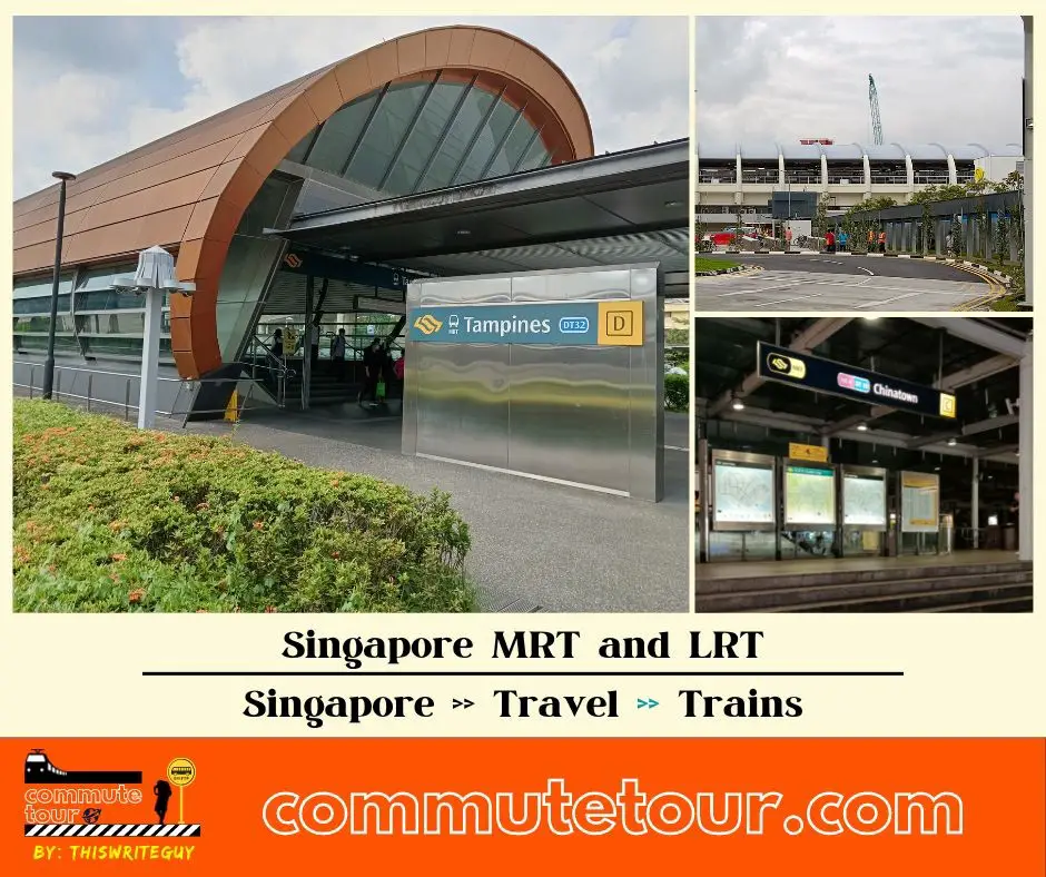
Singapore MRT / LRT Map
Singapore MRT / LRT Map. You can remove the other lines by tapping the top left corner of the map with arrow and unchecking the box/es.
Click here to search for MRT / LRT Station
Singapore MRT / LRT Map
Click the MRT / LRT Line below for more details.
MRT
LRT
Monorail
Cross Border
Featured
Click the time stamps below